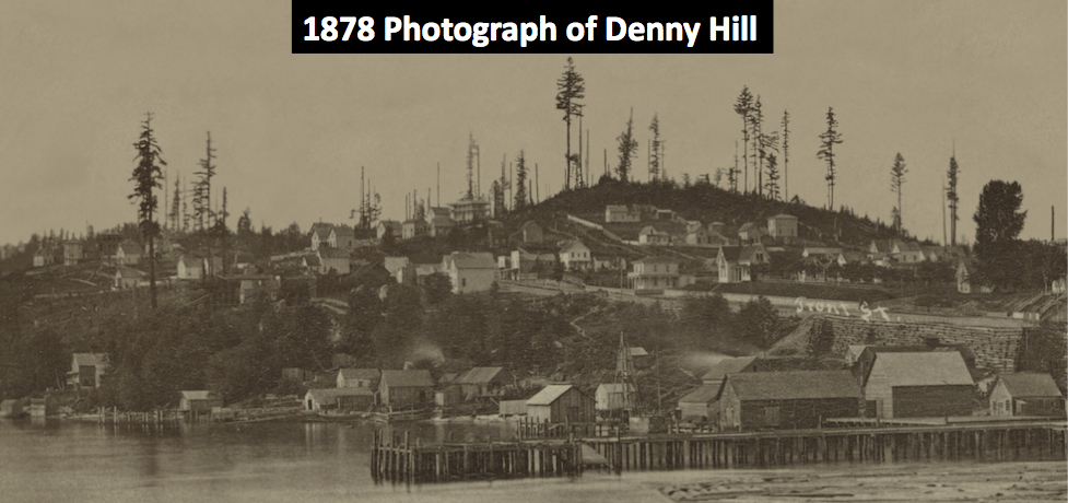
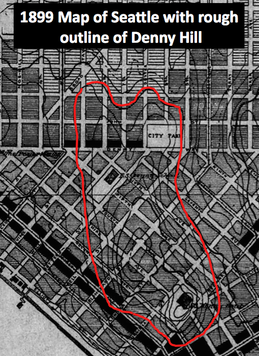
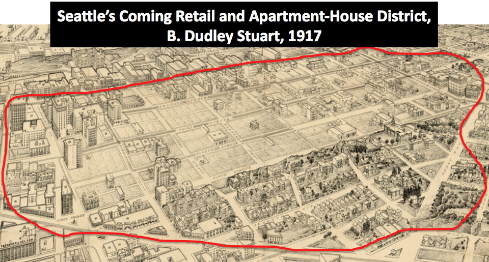
People often ask me about Denny Hill, what it looked like and where was it. Below are a series of maps and one photograph that show the location of the hill and some of its topography.
This is one of the earliest known photographs of Denny Hill, showing it after it has been logged somewhat.
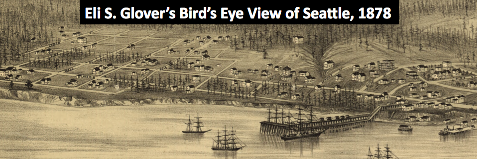
 Below is the first illustration of the hill. Note how few homes are on the hill. Hard to get a feel for the topography.
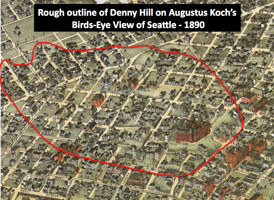
 Twelve years later and the hill has been much more developed, especially with the addition of the Denny Hotel and many homes.
Probably the best topographic map of Denny showing the two summits, each about 240 feet above sea level.
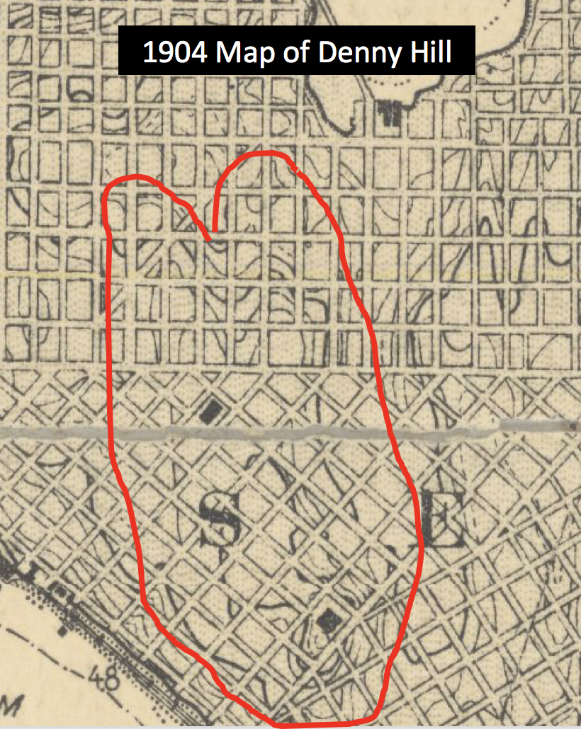
The one post regrade map of Denny Hill shows what happened after the regrades lowered the land.
 A modern topographic map of Seattle showing the flattened landscape. Note the modern high point at 1st and Virginia.
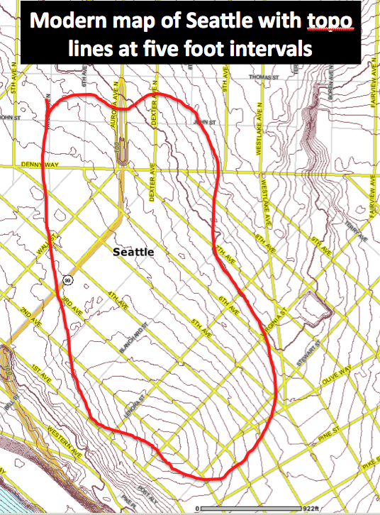
Very interesting! I always pictured the summit of Denny hill closer to Lake Union. The ‘peak’ seem to have been at 3rd and Stewart.
Jim, there were two summits. One, as you note, at 3rd and Stewart, and another at 4th and Blanchard. Each was about 240 feet above sea level, as compared to Capitol Hill at about 420 feet and Queen Anne a bit higher. David
Does anyone know what that massive building is at the peak of 3rd and Stewart?
That’s the Washington Hotel! It was built in the final decade of the 1800s, but razed as part of the regrading. https://www.historylink.org/File/2990