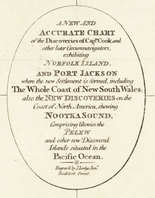
Now we know what the Strait of Juan de Fuca could have been called. Or at least it could have been so, according to cartographer John Lodge, who engraved this map in 1797. Created to show the discoveries of Captain James Cook throughout the Pacific Ocean, the map also contains a few intriguing features in the Pacific Northwest.
The most obvious is one of the more original names for the long waterway that separates the future British Columbia from the future Washington State. I also like the spelling of Mt. Olimpius and Shoal Water, for what became Shoalwater and later Gray’s Harbor. And, despite the map coming out five years after George Vancouver named Puget’s Sound, it does not appear on the map. But then again, Mr. Lodge was highlighting Captain Cook’s discoveries. Curiously though Cook did not think that there was what he called the “pretended Strait of Juan de Fuca.”
Origin of this image of the map. Barry Lawrence Ruderman Antique Maps, Inc.


